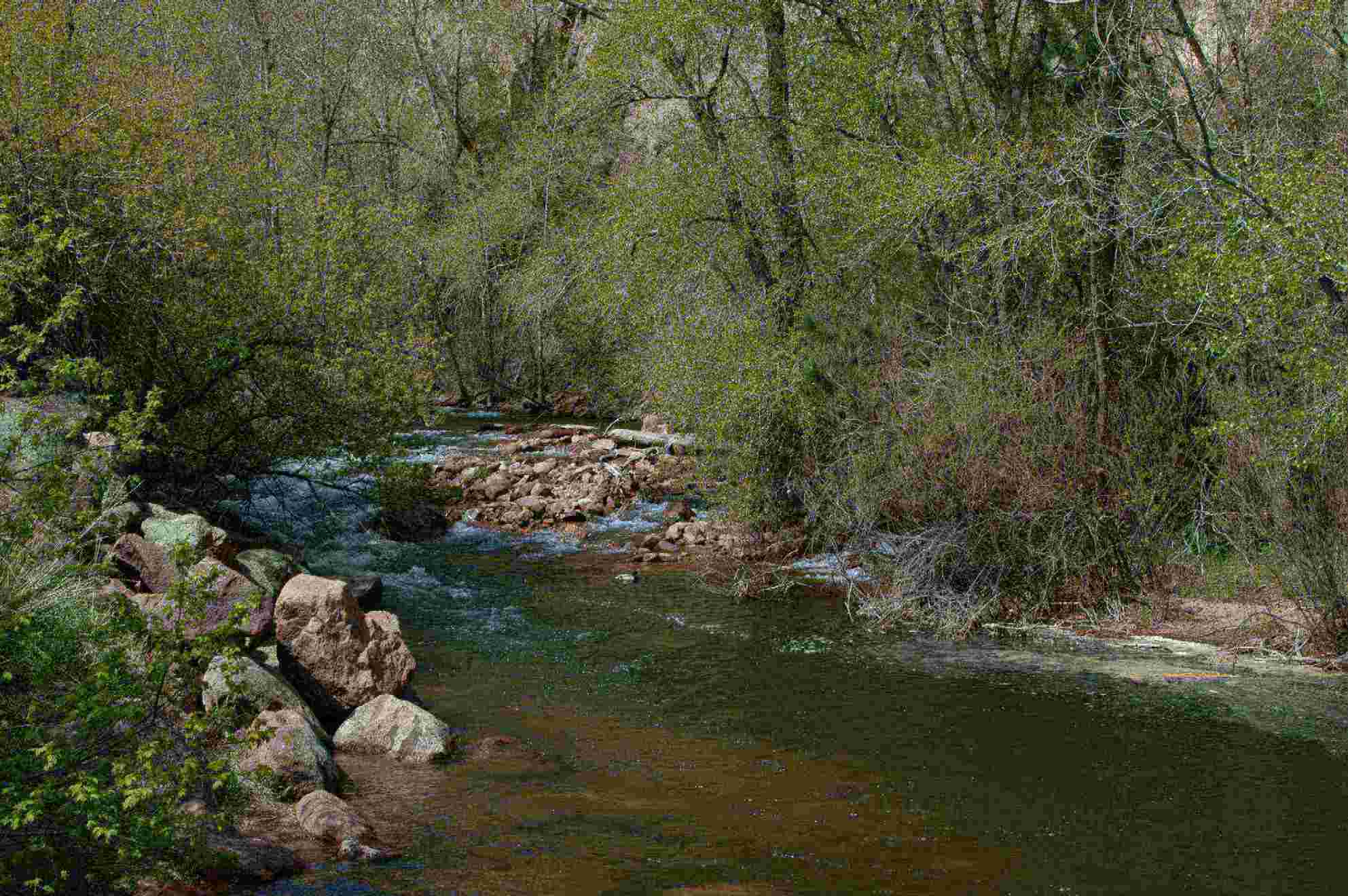
The Boulder area is very dependant on its water sources and annual precipitation, though the amount that they receive varies greatly every year. Most of Boulders water supply comes from run-offs from various lakes located in the Rocky Mountains primarily Silver Lake. Boulder Creek runs all the way through town to the furthest point in Boulder County located in South Boulder.

*South Boulder Creek
Because of Boulders Subtropical highland climate, they have very well preserved wetlands, wet meadows, and vast grasslands these are mostly located along the Creek. Boulder also has a water source located on in central Boulder called Baseline Lake, though this reservoir contains most of the drinking water for towns located around the Boulder area.

*Boulder Creek Source Water Map
Boulders well known Flatirons are a prime example of erosion. They consist of conglomerate sandstone of the fountain formation. Since the Flatirons have formed between 35 and 80 million years ago they have experienced a great amount of physical and chemical weathering. Lots of pressure release has occurred leaving large slabs of sandstone at the bottom of the 5 larger rock formations. There are also many large joints throughout the sandstone that has made the physical weathering greatly visible.

*An example of the erosion of the sandstone, slabs being layered one in front of the other

No comments:
Post a Comment